
Borehole geophysical logging
Continuous recording of physical and chemical parameters along the borehole, at decimetre-scale resolution and under near-undisturbed conditions.
What is geophysical logging?
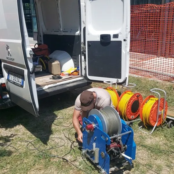
Geophysical borehole logs, or wireline logs, continuously record changes in a physical or chemical parameter as a function of depth. A probe just a few centimetres in diameter is lowered into a borehole, piezometer or existing well. Its movement is controlled by a motorised winch, synchronised with the measurements.
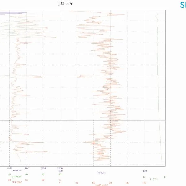
This technique provides high-resolution data (at decimetre scale) and near-undisturbed measurements of temperature, ground and fluid resistivity, natural radioactivity, screened sections and other parameters. Temperature and conductivity gradients provide useful indications of aquifer circulation. Surveys can be carried out in open and cased boreholes, to depths of up to 1,000 m.
Sonic logging measures the propagation of an acoustic pulse through the formations: arrival times are used to calculate P-, S- and Stoneley-wave velocities. It is carried out in fluid-filled boreholes and requires centralisation.
Available probes
- Multiparameter log
- Fluid physicochemical parameter log (FTC)
- Sonic log
- Caliper log
Applications
- Lithology of geological formations
- Permeability and porosity
- Quality of fluids contained in the formations
- Variations in lithology and fracturing
- Vp and Vs of rocks in uncased boreholes
Images and results
Often combined with this survey
Ready to get your project underway?
Send us the location and objective of the survey: we will propose the most suitable combination of methods and provide a detailed quote.