
Electrical surveys and electrical resistivity tomography
We map subsurface resistivity using thousands of measurements per survey line: a non-invasive investigation for aquifer and geothermal reservoir exploration, aquifer modelling, environmental studies and engineering.
How electrical surveys work
Electrical surveys are a non-invasive geophysical method based on measuring the electrical resistivity of the ground. Resistivity depends on the nature of the materials and the presence of water, moisture and dissolved salts, making it one of the most effective tools for aquifer and geothermal reservoir exploration and aquifer studies.
A large number of electrodes are laid out on the ground and connected to a georesistivimeter. The instrument injects direct current using measurement geometries (arrays) selected according to the geological conditions, the target depth and the required sensitivity, then acquires thousands of measurements. These are processed using inversion software (EarthImager 1D, Zond2D, ErtLab) to produce 2D or 3D models of the subsurface.
Alongside resistivity, we measure chargeability (induced polarisation), which describes a material's ability to accumulate charge when current is applied, and self-potential, measured using non-polarisable electrodes.
An electrical survey can identify the most promising locations for exploratory boreholes and water wells, helping avoid drilling in areas with limited potential.
Services
- 2D electrical resistivity tomography
- 3D electrical resistivity tomography
- Vertical and horizontal electrical soundings (VES and HES)
- Electrical cross-hole surveys
- Induced polarisation (IP)
- Self-potential (SP)
Applications
- Aquifer and geothermal reservoir exploration and water well siting
- Aquifer modelling
- Groundwater vulnerability studies
- Mapping ground permeability
- Monitoring seawater intrusion
- 2D and 3D subsurface analysis
- Assessment of damaged buildings
- Mapping alluvial sequences
- Environmental remediation studies
- Mapping waste deposits and buried anthropogenic features
- Archaeological surveys and soil studies
Images and results
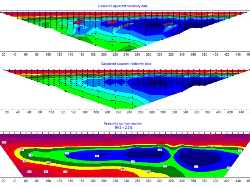
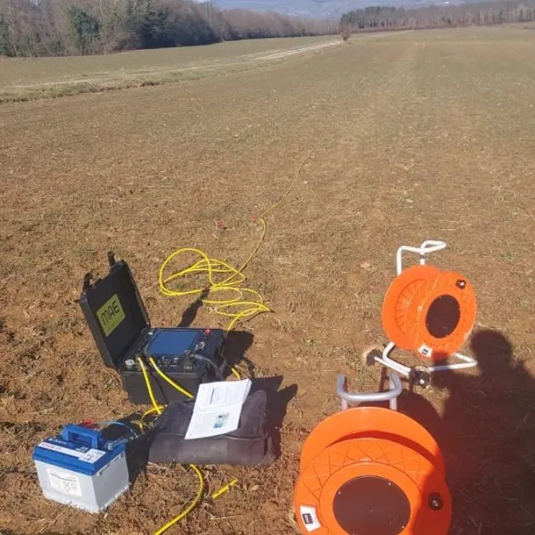
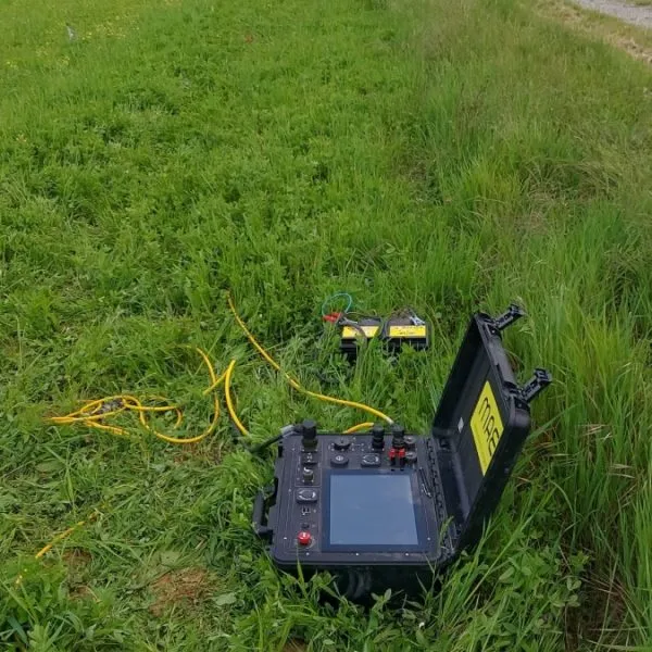
Often combined with this survey
Planning a project?
Send us the location and objectives of the survey. We will propose a suitable combination of methods and provide a detailed quote.